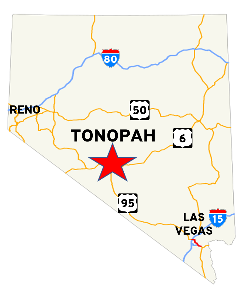
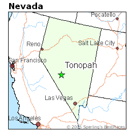
- Tonopah, Nevada is an unincorporated town in Nye County, Nevada (it is the county seat), located approximately halfway between Reno (230 miles) and Las Vegas, Nevada (210 miles), at the junction of US-95 (north-south highway) and US-6 (east-west highway).
- As of the 2000 census, the population of the town was 2,627 people.
- Explore the area on Google Maps
- Note that this is not the town in Arizona near Phoenix!
- Tonopah is not in a major metropolitan area. It does have hotels, restaurants, gas stations, convenience stores, one medium sized grocery store, and law enforcement (Nye County Sheriff’s Department)
- In response to concerns raised about the remoteness of the town, we do wish to point out that there is no full-service hospital in the area. There is an urgent-care center 0.7 miles (1.2 km) south of the Convention Center, and the local fire/EMS (paramedic) service is 920 ft / 280 m (approximately one minute’s drive) from the Convention Center. The nearest full-service hospitals are in Hawthorne NV (105 mi / 170 km) and Bishop CA (120 mi / 195 km).
- Note that if you have concerns about needing emergency medical care that might involve needing to be transported to a major medical facility, you may want to consider purchasing travel insurance, just as you might want to do when traveling anywhere that is outside of a major metropolitan area. Such coverage is generally not very expensive. (Our convention chair, a 53-year old man, got a quote of between $20-$30 for a one-week stay for comparable dates in 2019 that included $500,000 in emergency medical evacuation coverage.)